
Shop
You can support the Trust by making a purchase from our shop.
Winchester - British Historic Towns Atlas
Winchester - British Historic Towns Atlas
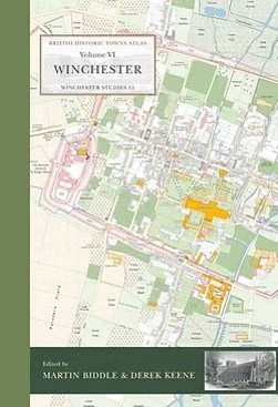
The beautiful atlas of Winchester, published in 2017 which originally sold for £80.
The atlas is based around a full-colour map of Winchester around 1800 showing the sites of extant and lost medieval buildings, the city walls and many other features. It is a truly comprehensive survey of the city, and extends geographically to include St Catherine's Hill in the south and Hyde Abbey in the north as well as St Giles's Hill and all the surroundings of the medieval town.
The atlas also includes maps of:
Roman Winchester
Winchester around 900
Winchester c.1000
Winchester c.1130
Winchester c.1300
Winchester in 1417
Winchester c.1550
The plans for royal Winchester, 1680s
Parishes, liberties and the Soke, at different dates
The amalgamation of Winchester's ecclesiastical parishes
Winchester's military camps in the mid 18th century
The volume also has a 1" OS map of the mid 19th century rescaled to 1:50,000, modern maps of the city and its region, aerial photographs of the city centre, and a long list of illustrations in full colour.
The maps, text, gazetteer and illustrations are presented in an A3 stiff card binder, and the format allows for maps of different dates to be compared side-by-side.
The atlas includes a very readable introductory text prepared by Professor Martin Biddle (Winchester Excavations Committee), the late Professor Derek Keene (Institute of Historical Research), Dr Francis Morris (WEC), Dr Edmund Thomas (University of Durham) and Dr Beatrice Clayre (WEC).
The introduction includes the first comprehensive survey of the Roman city and its history to be published in over a hundred years, and includes the results of recent research and archaeology.
The atlas includes a substantial and thorough gazetteer of the town prepared by the authors, with entries on all the principal buildings, structures and streets shown on the maps - it forms a major research publication in its own right. Maps were prepared following the original research and mapping work undertaken by Fred Aldsworth.